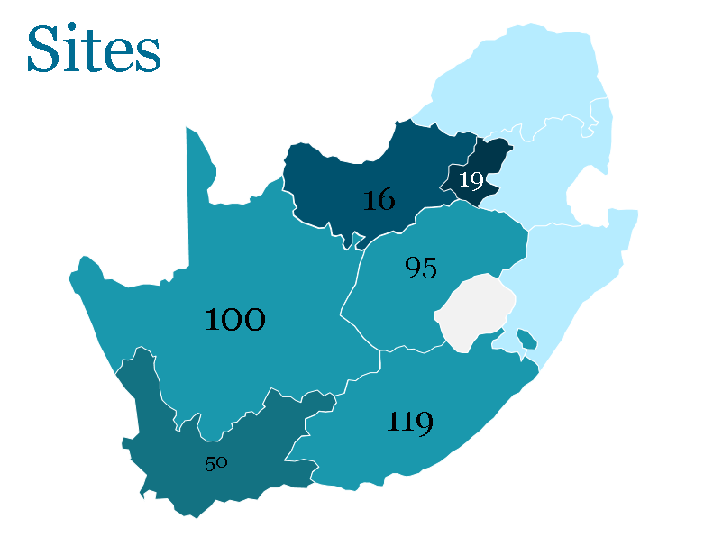
Khulisa uses these fully-editable PowerPoint map templates on yourfreetemplates.com. They include geographic maps of continents, countries, and in some cases provinces, states and districts.

For more map visualization tools go to:
Khulisa uses these fully-editable PowerPoint map templates on yourfreetemplates.com. They include geographic maps of continents, countries, and in some cases provinces, states and districts.

For more map visualization tools go to: